
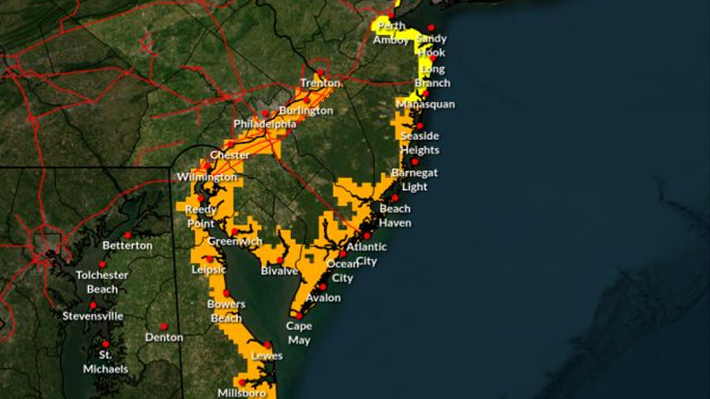
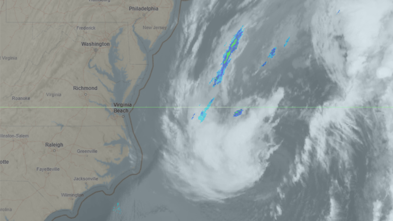
A nor’easter lingering off the Mid-Atlantic coast is expected to bring several rounds of coastal flooding, gusty winds and hazardous marine conditions to Delaware and New Jersey through at least Wednesday, according to the National Weather Service.
A Coastal Flood Advisory is in effect for portions of Delaware and New Jersey as prolonged northeasterly winds push water toward the coastline. Minor tidal flooding is expected during Tuesday evening’s high tide, with more significant flooding possible Wednesday evening. Forecasters say Wednesday evening’s high tide cycle is of greatest concern, with widespread minor to low-end moderate flooding possible, particularly in back bays and low-lying coastal communities.
Floodwaters could inundate roads near tidal waterways, resulting in partial or complete road closures. Additional flooding may occur beyond Wednesday as elevated tides persist.
Northeasterly winds are expected to strengthen through Wednesday, with gusts of 35 to 40 mph possible along the coast. Winds should begin diminishing Wednesday night into Thursday.
A Gale Warning remains in effect for Delaware’s ocean waters through late Wednesday, where wind gusts of 35 to 45 knots and seas of 8 to 12 feet are possible. A Small Craft Advisory is also in effect for Delaware Bay through midday Wednesday, with gusts of 25 to 30 knots and hazardous boating conditions expected.